
Know the water level. Always a step ahead.
Hydrophant tracks German river gauges in real time and alerts you when levels cross your threshold, so you can stay safe or pick the perfect moment on the water.
Data from official gauging stations
We aggregate measurements directly from Germany's official hydrological authorities, the same sources used for national flood management.
Stop checking. Start knowing.
Checking the gauge by hand only ever shows you a snapshot. Hydrophant turns that into continuous peace of mind.
Checking by hand
- You only see the level when you remember to look
- A rise overnight can go unnoticed
- No warning before it turns critical
With Hydrophant
- The gauge is watched for you, around the clock
- Alerted the moment your threshold is crossed
- Time to act before the water reaches you
Three steps to peace of mind
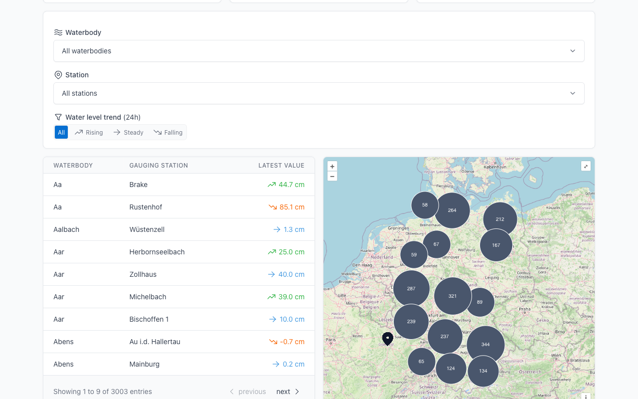
1Find your gauge
Search Germany's rivers and pick the gauging station closest to you.
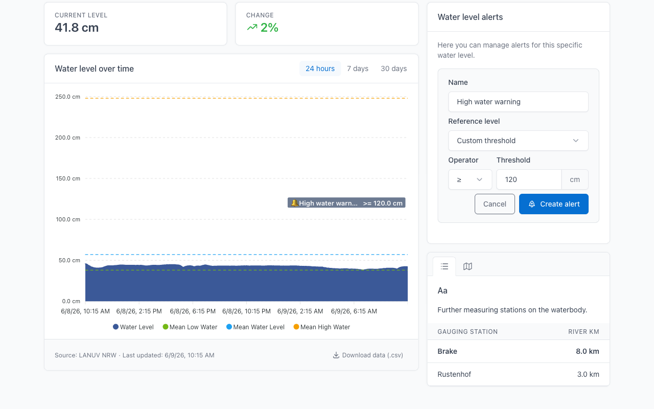
2Set your threshold
Choose the water level that matters to you and how you want to be warned.
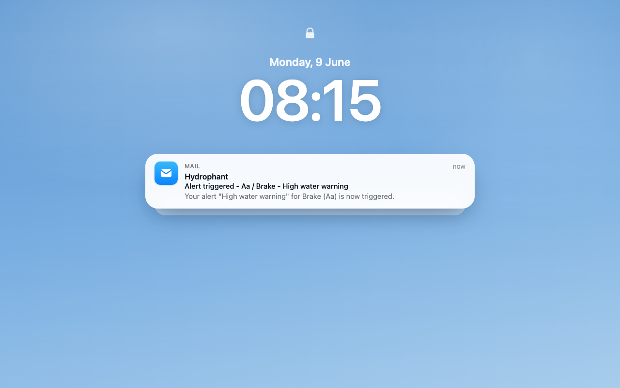
3Get alerted in time
We notify you the moment the level is crossed, day or night.
Built around alerts, backed by the full picture
Alerting is what Hydrophant does best. But you also get real-time data, downloadable history and a nationwide map.
Custom alerts
Set a threshold for any gauge and Hydrophant watches it around the clock, warning you the moment the level is crossed so you can act in time.
- Thresholds set per gauge
- Automatic monitoring, 24/7
- Up to 5 alerts on Premium
Built for everyone near the water
Homeowners near rivers
Protect your property. Get warned before the water reaches you.
Anglers & paddlers
Plan trips around the right conditions and stay safe on the water.
Farmers & landowners
Keep fields, livestock and equipment safe from rising water.
Communities & operators
Keep an eye on the local gauges that matter for your area.
Start free. Upgrade when you need alerts.
Viewing real-time levels, the gauge map and trends is free. Premium adds continuous alerting for the gauges you care about.
Frequently asked questions
Stay ahead of the next high water
Set up your first gauge alert in minutes.